GPS Machine Control Modeling
We create 3D machine control models for GPS-guided construction equipment, built to support grading crews, survey teams, and site supervisors in the field.
Models are developed from your civil plans and optimized for use with modern machine control systems, helping improve grading accuracy, reduce staking dependency, and increase production efficiency.
Whether you're working with roadways, subdivisions, commercial pads, or utility corridors, we build clean, construction-ready surfaces designed for real-world machine performance.
We specialize in translating 2D plan sets into usable 3D models that field crews can trust.
Services include:
- 3D surface modeling for GPS machine control
- Subgrade, finish grade, and corridor modeling
- Utility and structure integration into models
- File preparation for machine control systems
- Model updates based on plan revisions
AGTEK Earthwork Takeoffs
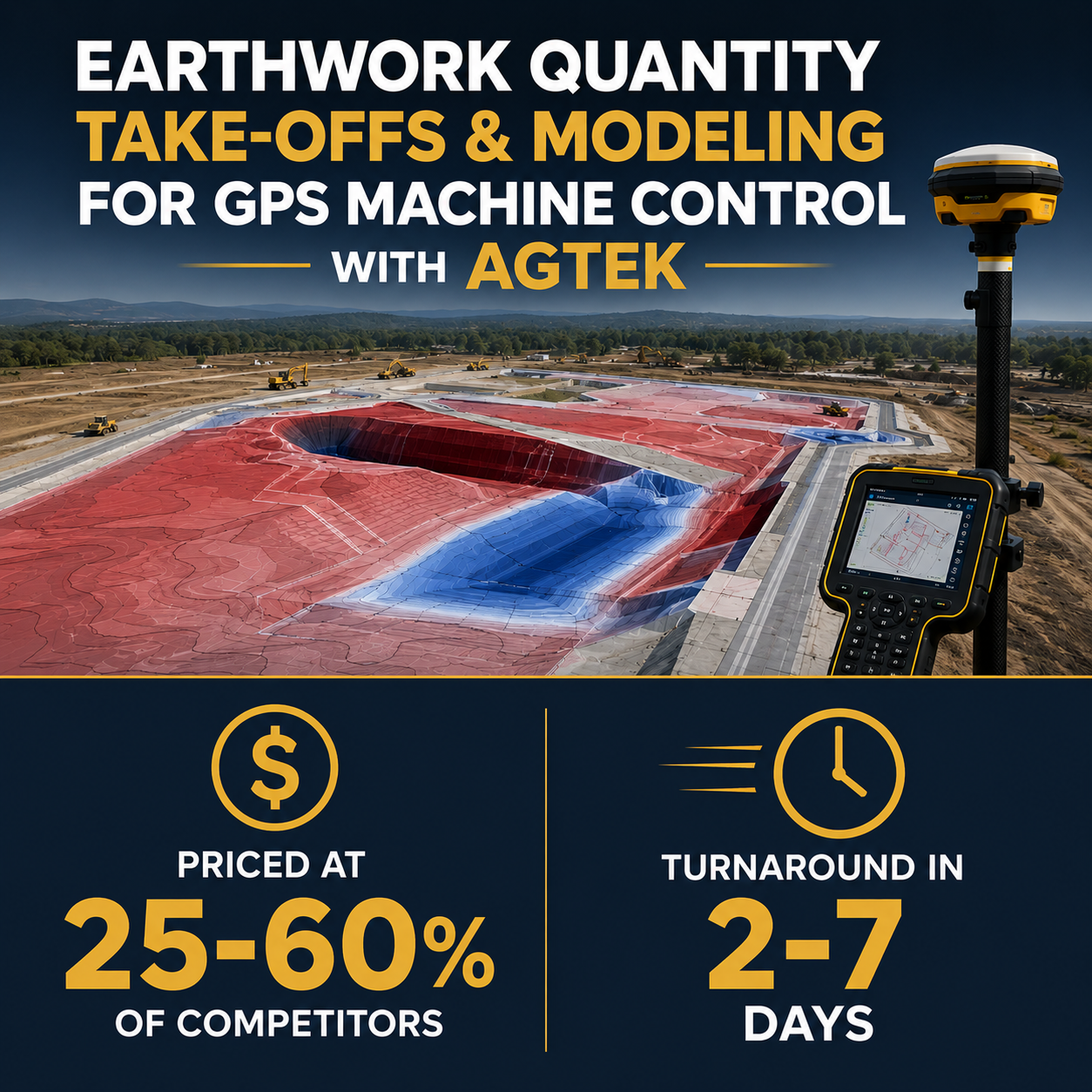
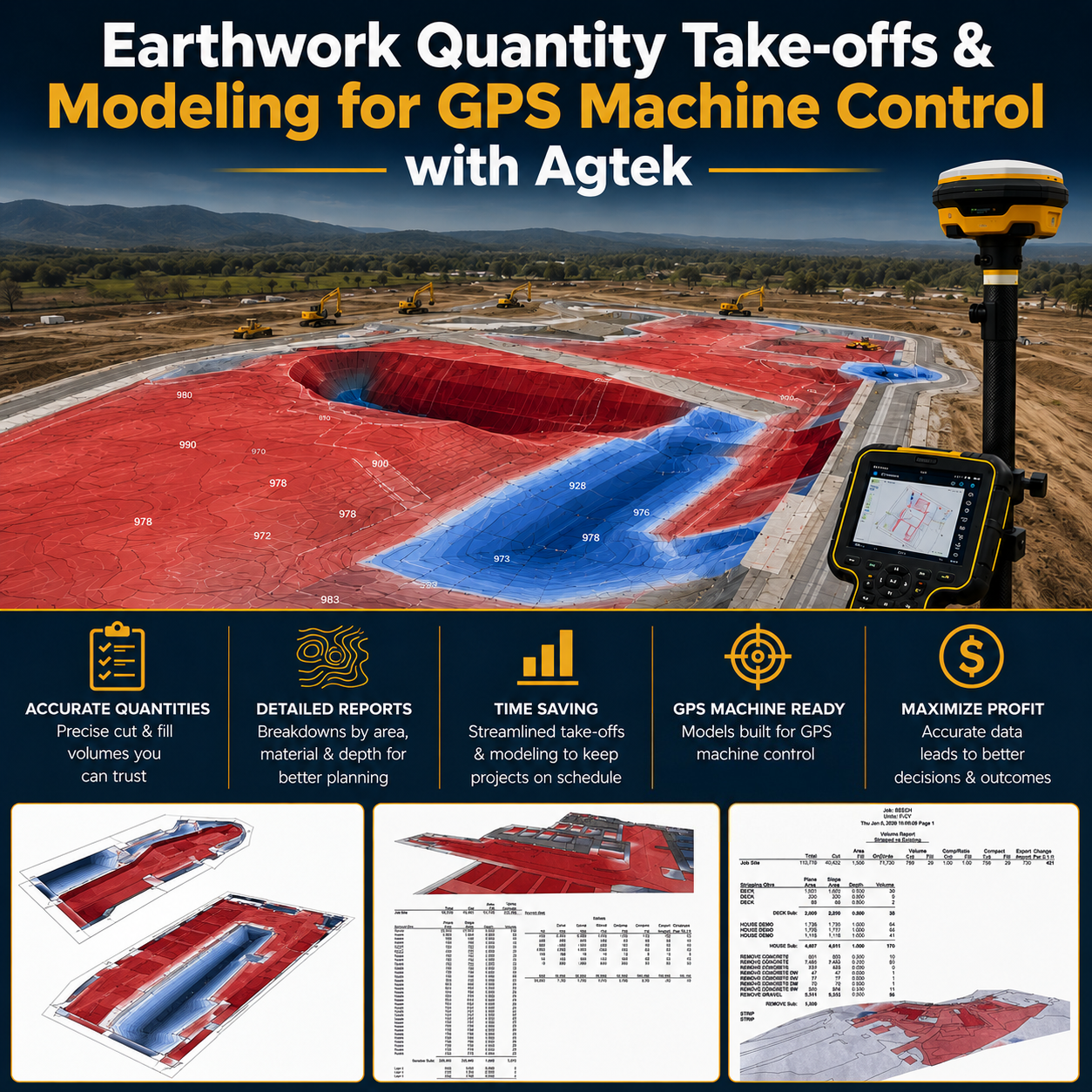
Accurate quantities are the foundation of every successful bid. We provide fast, detailed earthwork takeoffs using AGTEK software workflows to help contractors bid smarter, reduce risk, value engineer and improve project profitability.
Our takeoffs are built from your project plans and include clear, organized quantities for excavation, fill, stripping, and site balancing. Whether you’re preparing a competitive bid or verifying design quantities, we deliver results you can rely on in the field and office.
We understand how tight bid timelines can be—so turnaround speed and clarity matter just as much as accuracy. Every takeoff is structured to support real-world construction decision-making, not just estimating spreadsheets.
Services include:
- Cut/fill earthwork quantities
- Strip/Demo/Material quantities
- Surface and subgrade volume calculations
- Plan-based digital takeoffs
- Bid support documentation
Pricing typically ranges from $300-$1,500, depending on size and quality of files.